1871 Plat Atlas
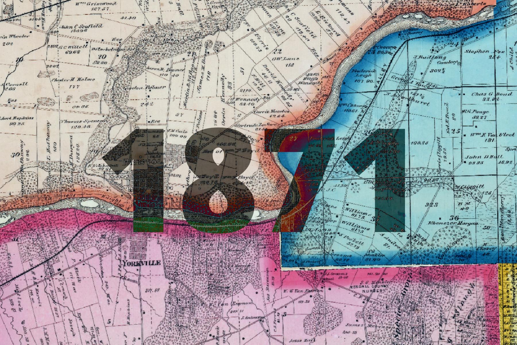
This basemap comes from a Plat Atlas book from 1871, georeferenced and stitched together by Kendall County.
This map contains a wealth of information about the early state of the county, including:
- Natural features (including names, when applicable)
- Small communities
- Schools
The basemap is made available as XYZ Tiles. In many GIS softwares and websites, these tiles can be accessed by using a template URL.
The template URL for this basemap is:
https://tiles.kendallcountyil.gov/1871/{z}/{x}/{y}.jpg