1875 Plat Atlas
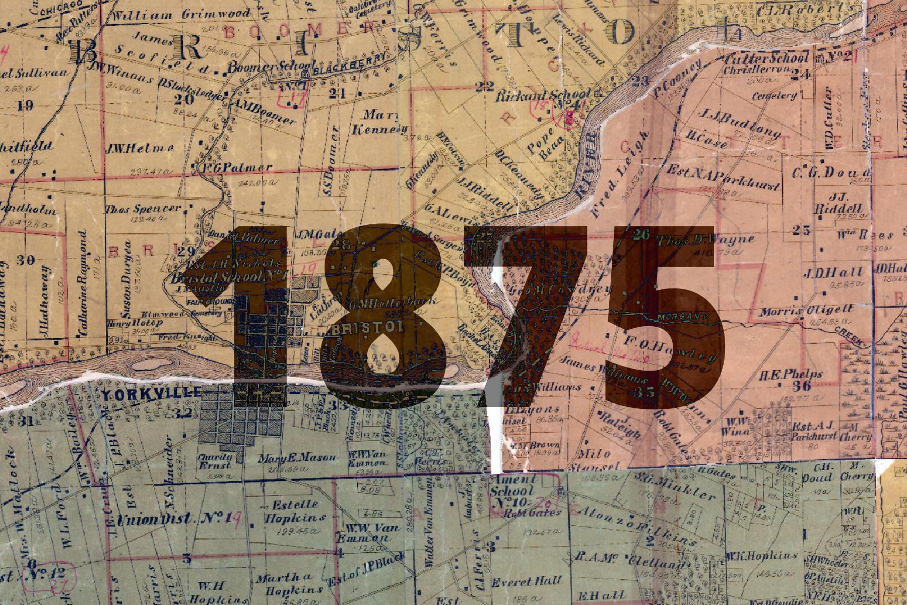
This basemap comes from a Plat Atlas book, georeferenced and stitched together by Kendall County. The date, 1875, is approximate based on changes noted between this map and other maps from the time period.
The plat book was found in poor condition, and many areas of the map show creases, tears, and other signs of wear. Condition aside, many interesting details can be found in this basemap:
- School District Boundaries
- Schoolhouse locations
- Churches
- Cemeteries
- Forested Areas
The basemap is made available as XYZ Tiles. In many GIS softwares and websites, these tiles can be accessed by using a template URL.
The template URL for this basemap is:
https://tiles.kendallcountyil.gov/1875/{z}/{x}/{y}.jpg