1908 Plat Atlas
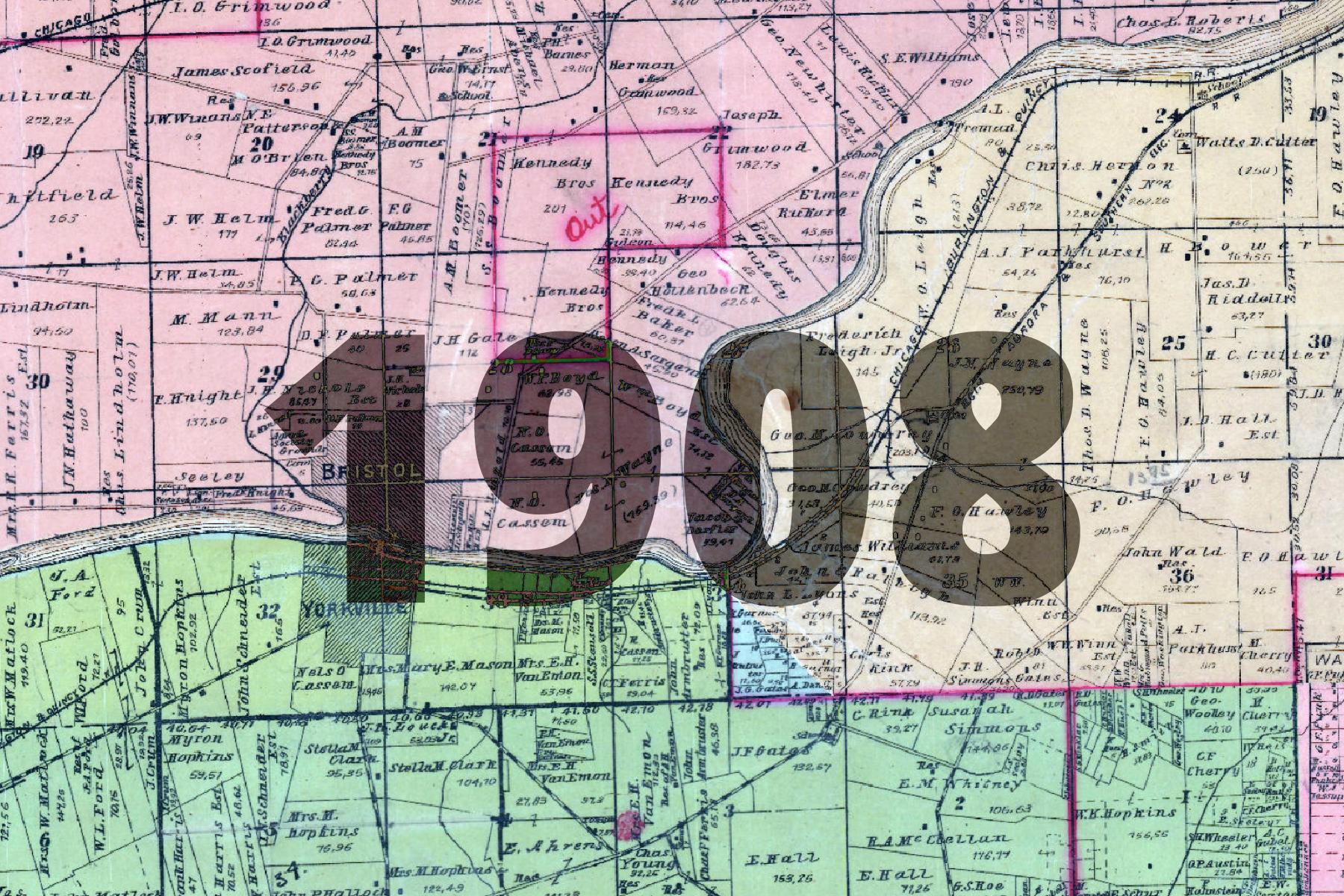
This basemap comes from a Plat Atlas book from 1908, georeferenced and stitched together by Kendall County.
While bound together as a single plat book, Kendall Township appears quite different in style than any of the surrounding townships, and appears to have come from a different publication.
It has less charm, perhaps, than other old plat maps, but still contains a good amount of historic interest.
The basemap is made available as XYZ Tiles. In many GIS softwares and websites, these tiles can be accessed by using a template URL.
The template URL for this basemap is:
https://tiles.kendallcountyil.gov/1908/{z}/{x}/{y}.jpg