1939 Aerial Imagery
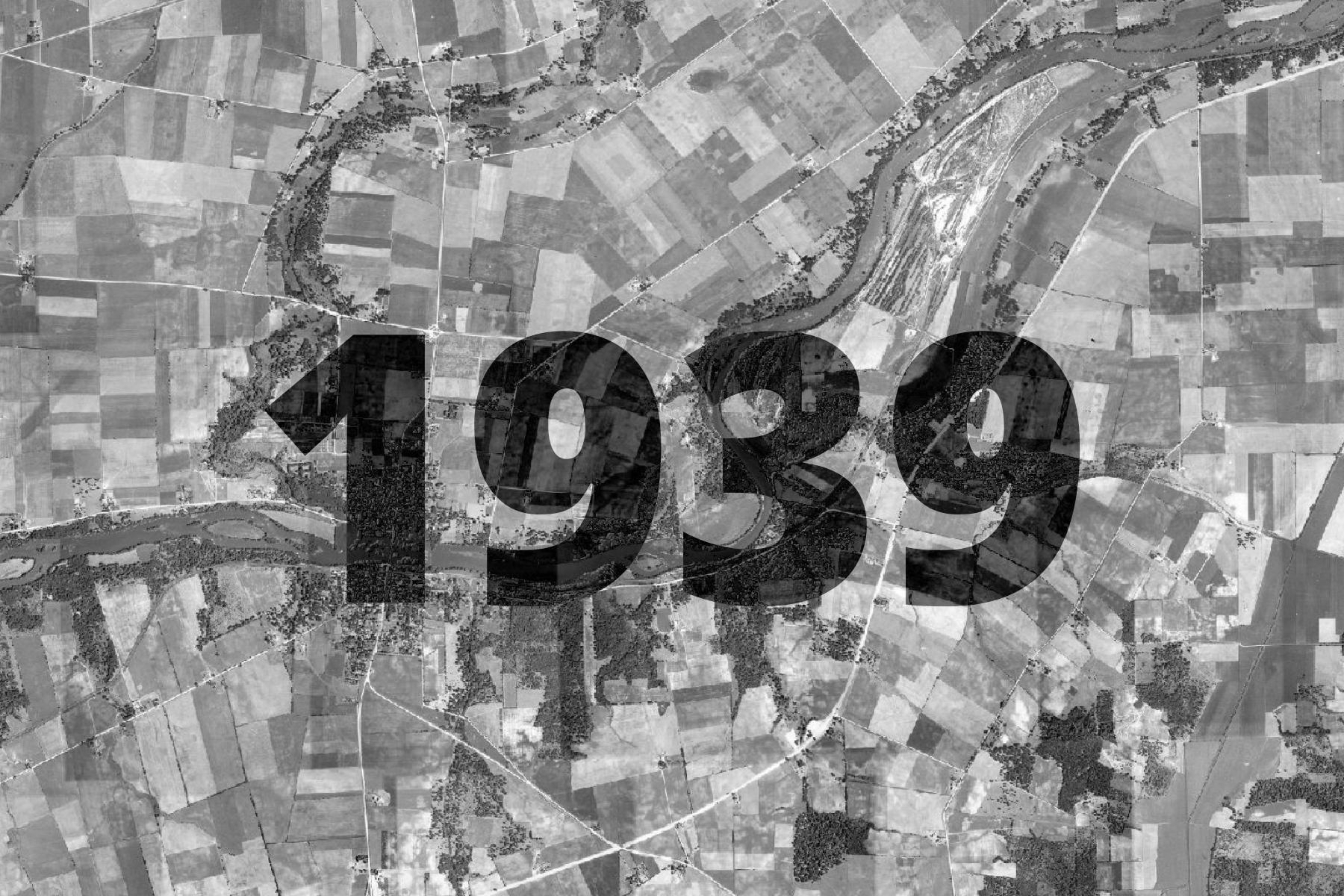
1939 Aerial imagery, originally photographed and made available by the United States Department of Agriculture. Dates can vary by location, but most parts of Kendall County were flown in 1939. Photographs were later georeferenced and stitched together by Kendall County.
The basemap is made available as XYZ Tiles. In many GIS softwares and websites, these tiles can be accessed by using a template URL.
The template URL for this basemap is:
https://tiles.kendallcountyil.gov/1939/{z}/{x}/{y}.jpg