1940 Zoning Map
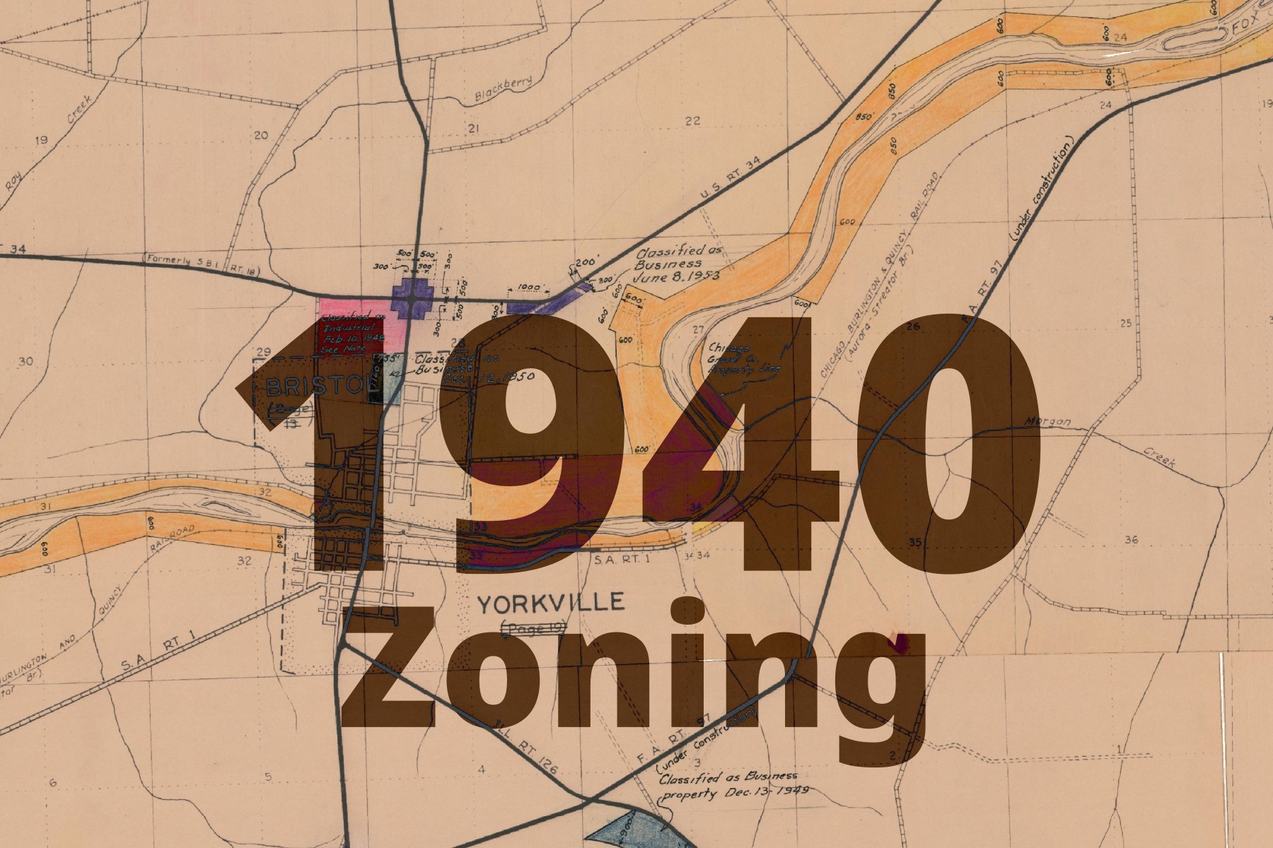
This basemap comes from scanned maps dating back to 1940, when Kendall County designated zoning areas for the County’s unincorporated areas. Some later hand-annotations are present in the map. The maps were scanned by Planning, Building, and Zoning, and later georeferenced by Kendall County GIS.
In several small communities, detailed zoning pages appear when zoomed in.
- Helmar
- Little Rock
- Millbrook
- Plattville
- Bristol Station
The basemap is made available as XYZ Tiles. In many GIS softwares and websites, these tiles can be accessed by using a template URL.
The template URL for this basemap is:
https://tiles.kendallcountyil.gov/1941/{z}/{x}/{y}.jpg