2018 Aerial Imagery
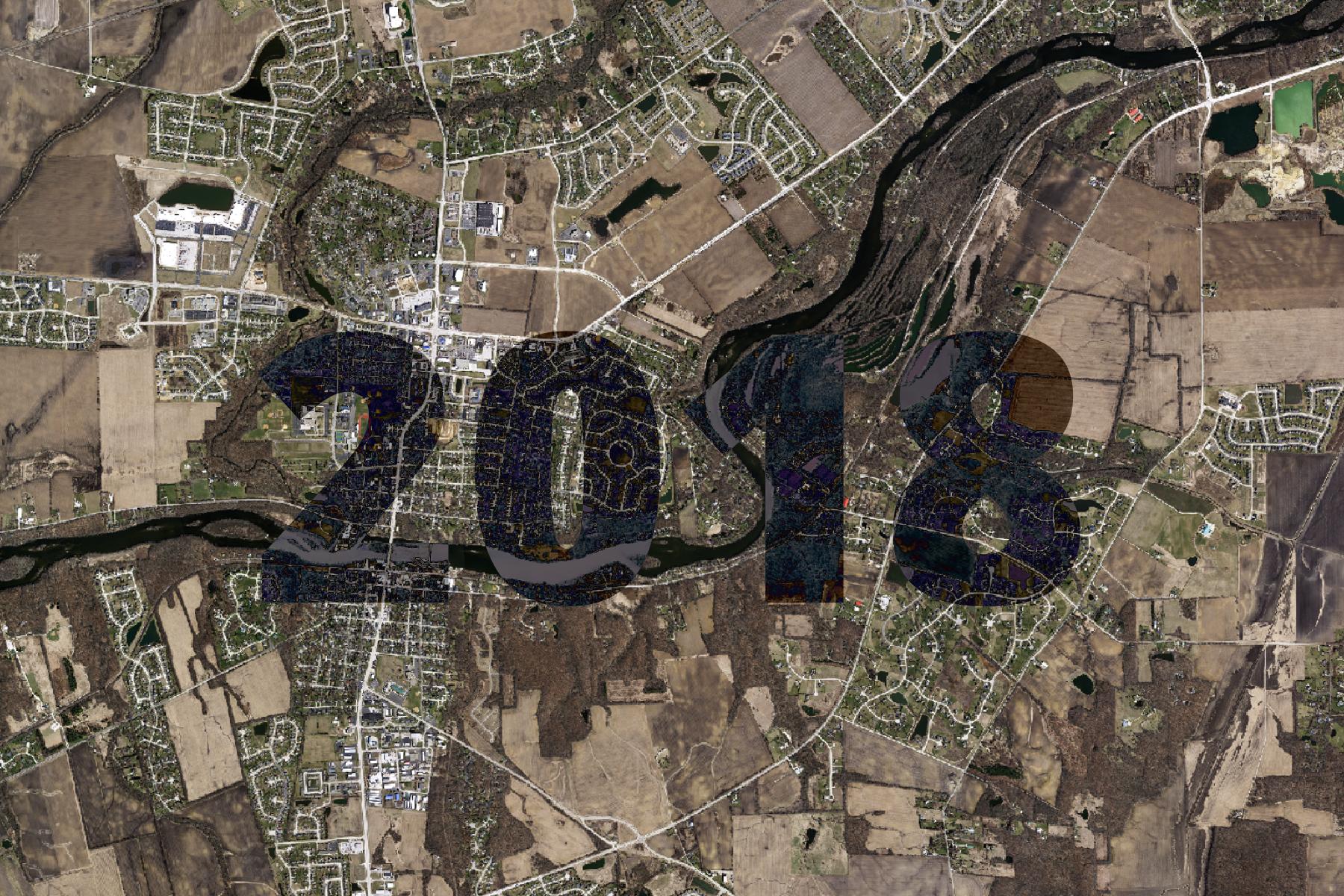
2018 Aerial imagery.
The basemap is made available as XYZ Tiles. In many GIS softwares and websites, these tiles can be accessed by using a template URL.
The template URL for this basemap is:
https://tiles.kendallcountyil.gov/2018/{z}/{x}/{y}.jpg