2026 Aerial Imagery
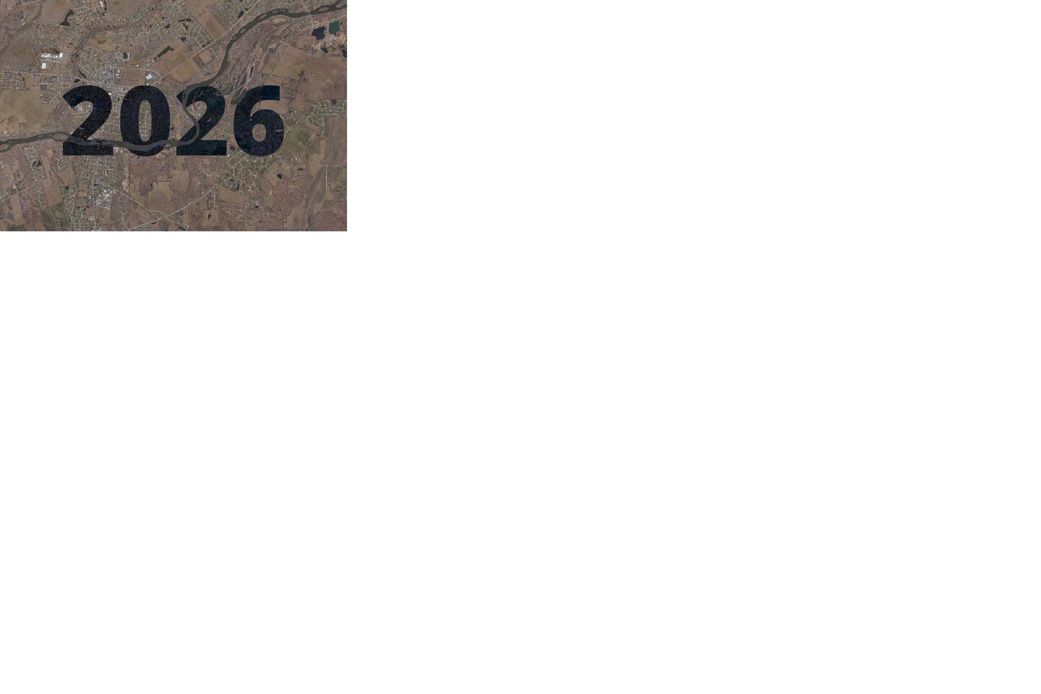
2026 Aerial imagery, flown in the spring of that year.
The basemap is made available as XYZ Tiles. In many GIS softwares and websites, these tiles can be accessed by using a template URL.
The template URL for this basemap is:
https://tiles.kendallcountyil.gov/2026/{z}/{x}/{y}.jpg
License
This basemap is released under the CC0 License. Please use it!