2018 Digital Surface Model
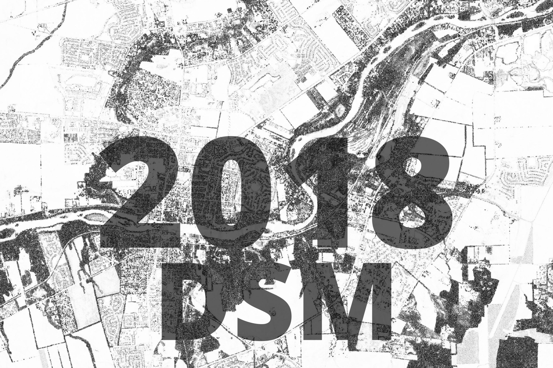
This basemap is a cartographic, derivative work, based on the Illinois Geospatial Data Clearinghouse’s 2018 LiDAR data.
Processed using GDAL’s Hillshade tool with combined shading. The sole purpose of this map is to show landscape texture, for layering over other data.
The basemap is made available as XYZ Tiles. In many GIS softwares and websites, these tiles can be accessed by using a template URL.
The template URL for this basemap is:
https://tiles.kendallcountyil.gov/digital-surface-model-2018/{z}/{x}/{y}.jpg