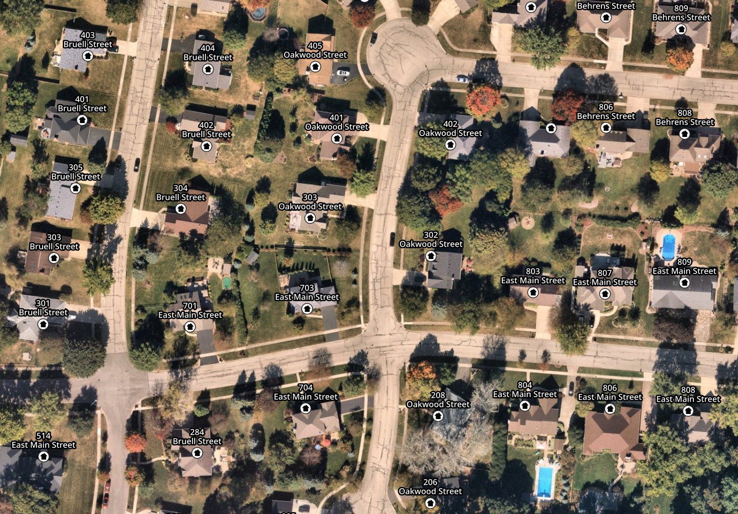
OpenStreetMap Address Points
All points with address information

Links
Feature Service
Downloads
OpenStreetMap Package
For convenience, all OpenStreetMap layers have been combined into a single GeoPackage, if you would rather download all layers at once.
Usage
All data comes from OpenStreetMap and is licensed under the Open Data Commons Open Database License (ODbL) by the OpenStreetMap Foundation (OSMF).
Layer Information
This service consists of a subset of features from OpenStreetMap.
This layer was prepared using osm2pgsql and Osmium.
Information has been clipped to the Kendall region. Features and attributes extracted for this service are as follows:
Address Points
Any point with addr:* tags on it. This may include addresses from neighboring counties as well.
Kendall County manages our address points directly in OpenStreetMap, and all such points within the County are routinely reviewed and edited.
Fields
| Field | Description |
|---|---|
| street | The name of the street the address belongs to |
| housenumber | The numeric portion of the address |
| unit | The unit number / letter, if any |
| city | The postal city for the address |
| zip | The ZIP code for the address |