OpenStreetMap Indoor Areas
Rooms, corridors, and other indoor spaces

Links
Feature Service
Downloads
OpenStreetMap Package
For convenience, all OpenStreetMap layers have been combined into a single GeoPackage, if you would rather download all layers at once.
Usage
All data comes from OpenStreetMap and is licensed under the Open Data Commons Open Database License (ODbL) by the OpenStreetMap Foundation (OSMF).
Layer Information
This service consists of a subset of features from OpenStreetMap.
This layer was prepared using osm2pgsql and Osmium.
Information has been clipped to the Kendall region. Features and attributes extracted for this service are as follows:
Indoor Features
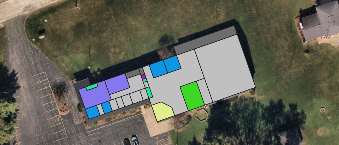
This layer consists of any area that has an indoor tag on it.
Fields
| Field | Description |
|---|---|
| Level | What floor of the structure the area is on |
| Room | What kind of room, or what the room is used for |
| Ref | The room number / ID |
| Name | The name of the room, if any |
Levels
In OSM, the level tag can be a range, or more than one value separated by semicolons. Think of a stairwell, for instance. By nature, it spans at least two levels of the building, but is one “room”. When creating maps from these features, it will work much better to filter on a “contains the text” statement than “equals”.
Note: OSM follows the convention of the ground floor of a building being Level 0. We in the US refer to this as the “first floor”, but this layer will use 0 as the value for the ground floor.