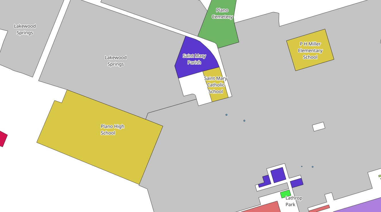
OpenStreetMap Landuse
Building footprints, building parts, and other details

Links
Feature Service
Downloads
OpenStreetMap Package
For convenience, all OpenStreetMap layers have been combined into a single GeoPackage, if you would rather download all layers at once.
Usage
All data comes from OpenStreetMap and is licensed under the Open Data Commons Open Database License (ODbL) by the OpenStreetMap Foundation (OSMF).
Layer Information
This service consists of a subset of features from OpenStreetMap.
This layer was prepared using osm2pgsql and Osmium.
Information has been clipped to the Kendall region. Features and attributes extracted for this service are as follows:
Landuse
This layer contains all features which show how land is being used. It is not limited to the landuse key, but includes certain amenities, leisure features, and more. Examples include but are not limited to:
- Cemeteries
- Parking lots
- School grounds
- Residential, commercial, and industrial areas
- Parks
- Forest Preserves
- Sports fields
Fields
| Field | Description |
|---|---|
| Class | The kind of feature it is |
| Name | The name of the area, if any |
| Access | What level of access the public has to the area |
| Operator | Who owns or operates the area |