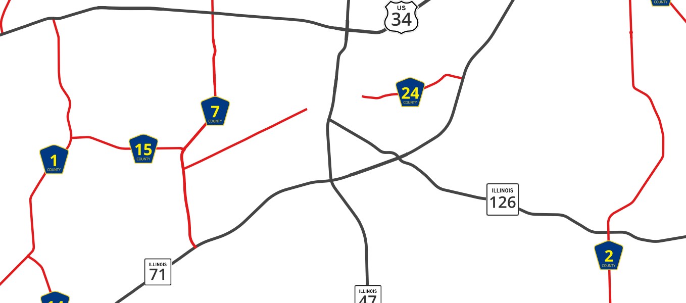
OpenStreetMap Numbered Routes
Federal, State, and County roads

Links
Feature Service
Downloads
OpenStreetMap Package
For convenience, all OpenStreetMap layers have been combined into a single GeoPackage, if you would rather download all layers at once.
Usage
All data comes from OpenStreetMap and is licensed under the Open Data Commons Open Database License (ODbL) by the OpenStreetMap Foundation (OSMF).
Layer Information
This service consists of a subset of features from OpenStreetMap.
This layer was prepared using osm2pgsql and Osmium.
Information has been clipped to the Kendall region. Features and attributes extracted for this service are as follows:
Numbered Routes
This layer is a bit different from the other transportation feature layers. It consists of any numbered routes, such as County, State, and Federal Highways, as well as Interstates. It is primarily a cartographic layer, and is not useful for routing or analysis.
Routes vs Roads
A route is not the same as a road. A numbered route, such as US 30, often consists of a number of different roads in sequence. A road may have its own name, speed limit, etc., but it participates in the route. It may participate in multiple routes, as with sections of US 30 / 34.
By putting route information into its own layer, we can more easily symbolize and work with routes.
Fields
| Field | Description |
|---|---|
| Ref | The number / name of the route |
| Network | What route network it belongs to |
| Name | The name of the route |
| Operator | The entity responsible for managing the route |
Networks
In OpenStreetMap, network values follow a hierarchy.
US Interstates are tagged US:I. State routes, US:IL. County, US:IL:Kendall.