OpenStreetMap Polling Stations
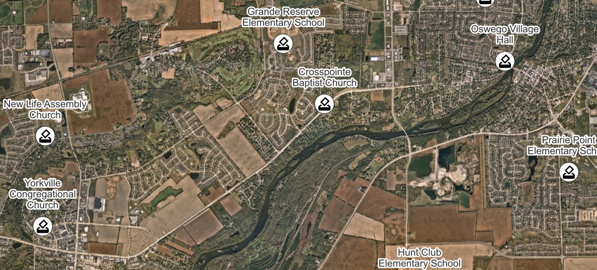
Polling stations, together with their names and addresses

Links
Feature Service
Downloads
OpenStreetMap Package
For convenience, all OpenStreetMap layers have been combined into a single GeoPackage, if you would rather download all layers at once.
Usage
All data comes from OpenStreetMap and is licensed under the Open Data Commons Open Database License (ODbL) by the OpenStreetMap Foundation (OSMF).
Layer Information
This service consists of a subset of features from OpenStreetMap.
This layer was prepared using osm2pgsql and Osmium.
Information has been clipped to the Kendall region. Features and attributes extracted for this service are as follows:
Polling Stations
These are the official polling stations in Kendall County. Among the other attributes is a precinct_id, which can be used to relate these points to their corresponding voter precinct. Polling station address attributes are included so that precinct residents can easily get directions to their polling station during elections.
Multiple Precincts
Because a single polling station can serve multiple precincts, the polling station point is duplicated for each of its precincts. This ensures that precincts and polling stations have a 1:1 relationship for any attribute-based joins performed between the two layers.
Fields
| Field | Description |
|---|---|
| Precinct ID | The ref of the associated voter precinct |
| Precinct Name | The name of the associated voter precinct |
| Name | The name of the polling station |
| Housenumber | The address number of the polling station |
| Street | The address street of the polling station |
| City | The postal city of the polling station |
| ZIP | The ZIP code of the polling station |