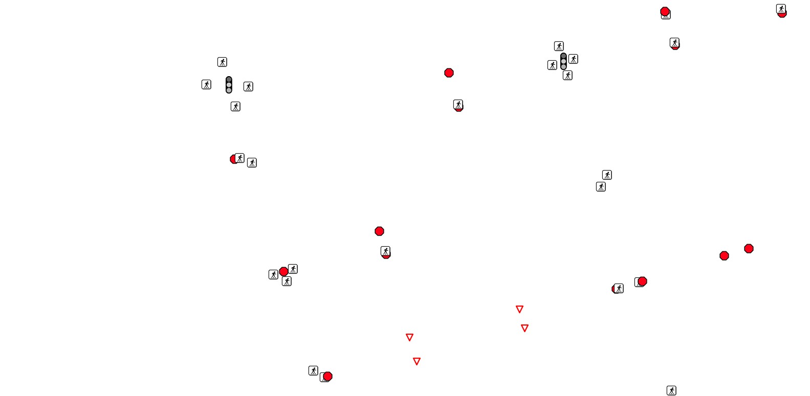
OpenStreetMap Traffic Points
Point features related to transportation
Highways
Crossings
Traffic signals
Road signs

Links
Feature Service
Downloads
OpenStreetMap Package
For convenience, all OpenStreetMap layers have been combined into a single GeoPackage, if you would rather download all layers at once.
Usage
All data comes from OpenStreetMap and is licensed under the Open Data Commons Open Database License (ODbL) by the OpenStreetMap Foundation (OSMF).
Layer Information
This service consists of a subset of features from OpenStreetMap.
This layer was prepared using osm2pgsql and Osmium.
Information has been clipped to the Kendall region. Features and attributes extracted for this service are as follows:
Traffic Points
This layer includes any transportation-related point features that may be useful in navigation, routing, etc., such as:
- Stop signs
- Road / crosswalk crossing points
- Traffic signals
Fields
| Field | Description |
|---|---|
| Ref | The ID / Number of the feature |
| Class | What category of feature, e.g. “crossing”, “stop” |
| Subtype | What kind, within its class |
| Direction | What direction the point applies to, if any1 |
Footnotes
Applies primarily to signs / signals↩︎