OpenStreetMap Utility Lines
Linear utility features such as power lines
OpenStreetMap
Utility Lines
Links
Feature Service
Downloads
OpenStreetMap Package
For convenience, all OpenStreetMap layers have been combined into a single GeoPackage, if you would rather download all layers at once.
Usage
All data comes from OpenStreetMap and is licensed under the Open Data Commons Open Database License (ODbL) by the OpenStreetMap Foundation (OSMF).
Layer Information
This service consists of a subset of features from OpenStreetMap.
This layer was prepared using osm2pgsql and Osmium.
Information has been clipped to the Kendall region. Features and attributes extracted for this service are as follows:
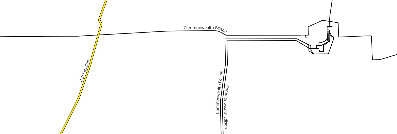
Utility Lines
Features with the utility key, such as power lines, pipelines, and communication cables.
Fields
| Field | Description |
|---|---|
| Operator | The organization / individual which operates or is otherwise responsible for the feature, if known |
| Ref | Reference numbers or codes, if any |
| Location | Location of the line in relation to objects such as roofs or buildings |
| Layer | Relationship between crossing or overlapping elements |
| Class | The kind of feature, e.g., power, pipeline |
| Subtype | The type of utility within its class, e.g., a major power line |