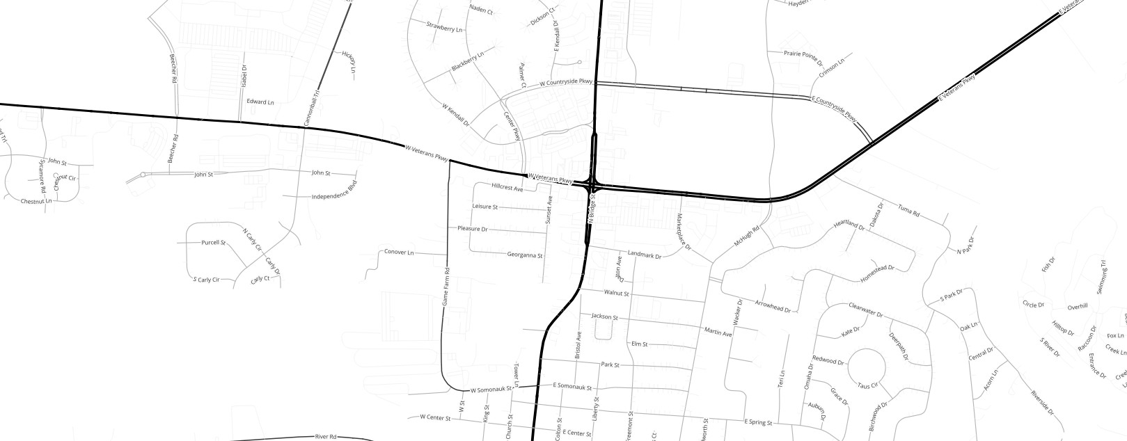
OpenStreetMap Traffic Roads
Anything you might drive on

Links
Feature Service
Downloads
OpenStreetMap Package
For convenience, all OpenStreetMap layers have been combined into a single GeoPackage, if you would rather download all layers at once.
Usage
All data comes from OpenStreetMap and is licensed under the Open Data Commons Open Database License (ODbL) by the OpenStreetMap Foundation (OSMF).
Layer Information
This service consists of a subset of features from OpenStreetMap.
This layer was prepared using osm2pgsql and Osmium.
Information has been clipped to the Kendall region. Features and attributes extracted for this service are as follows:
Traffic Roads
This layer includes any transportation-related linear feature that is meant for use by cars and other motorized vehicles.
Fields
| Field | Description |
|---|---|
| Name | The name of the road |
| Class | What kind of road |
| Access | Who is permitted to use the road |
| Operator | The entity responsible for maintaining the road |
| Layer | Where the road is positioned vertically in relation to other features which cross it, as in bridges and tunnels |
| Oneway | Whether the road permits bidirectional traffic |
| Max Speed | The speed limit of the road |
Access
In OpenStreetMap, access tags (and related mode-specific tags like horse, bicycle, etc.,) focus on what is legal and verifiable.
In the absence of explicit tagging, certain assumptions can be made based on the type of feature. A sidewalk, for instance, is assumed to be public unless tagged otherwise. Horses, however, may not be allowed on sidewalks, depending on local laws and ordinances. Conversely, a bridleway is, by definition, for horses.
Other values in this key can be quite varied. Users are encouraged to refer to the OpenStreetMap Wiki for more detailed information.
Class
Highway classification in OpenStreetMap is based on functional importance, and differs from various regional / national highway classification systems. If you simply want to show US / State / County roads, you will be better served by referring to the numbered routes layer, or using the operator tag.
Routing
With the inclusion of the maxspeed attribute, this dataset is suitable for basic routing and analysis. However, users looking to perform in-depth analyses are encouraged to go directly to the source and get a full extract of OpenStreetMap.