Kendall County Open GeoData
Vector Layers
No matching items
Raster Layers
| Layer | Template URL | |
|---|---|---|
|
|
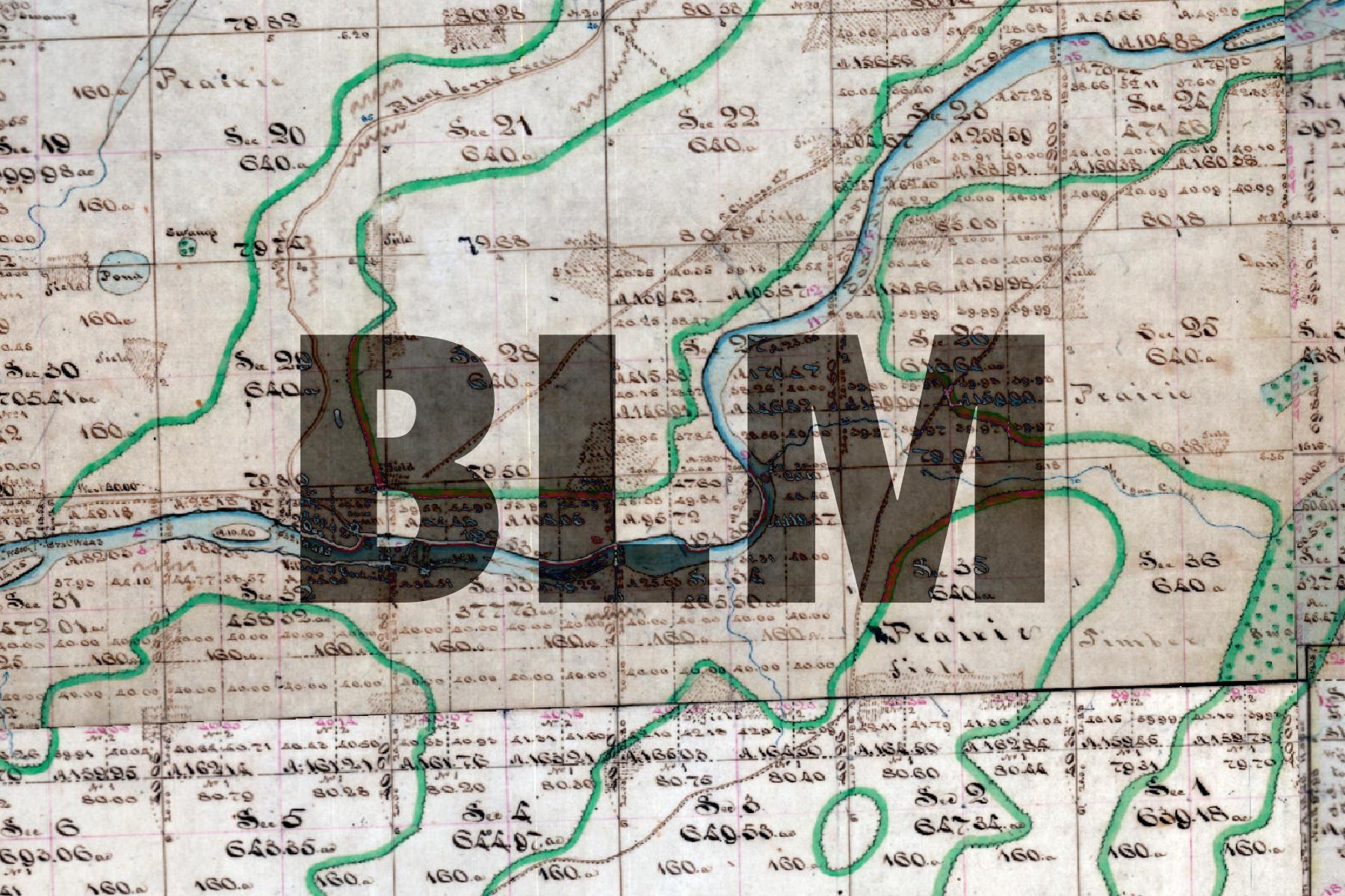
1830 BLM Survey Map | https://tiles.kendallcountyil.gov/1830/{z}/{x}/{y}.jpg |
|
|
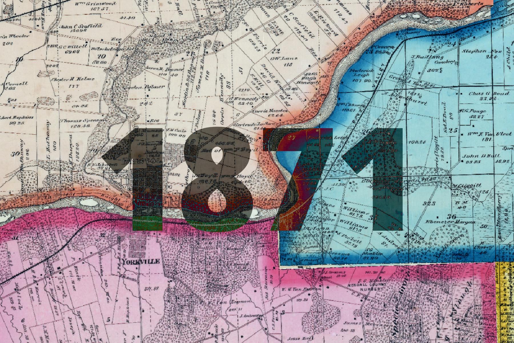
1871 Plat Atlas | https://tiles.kendallcountyil.gov/1871/{z}/{x}/{y}.jpg |
|
|
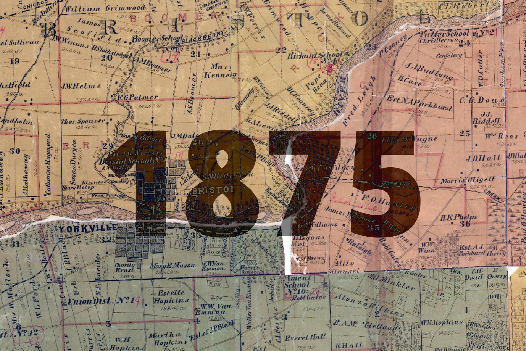
1875 Plat Atlas | https://tiles.kendallcountyil.gov/1875/{z}/{x}/{y}.jpg |
|
|
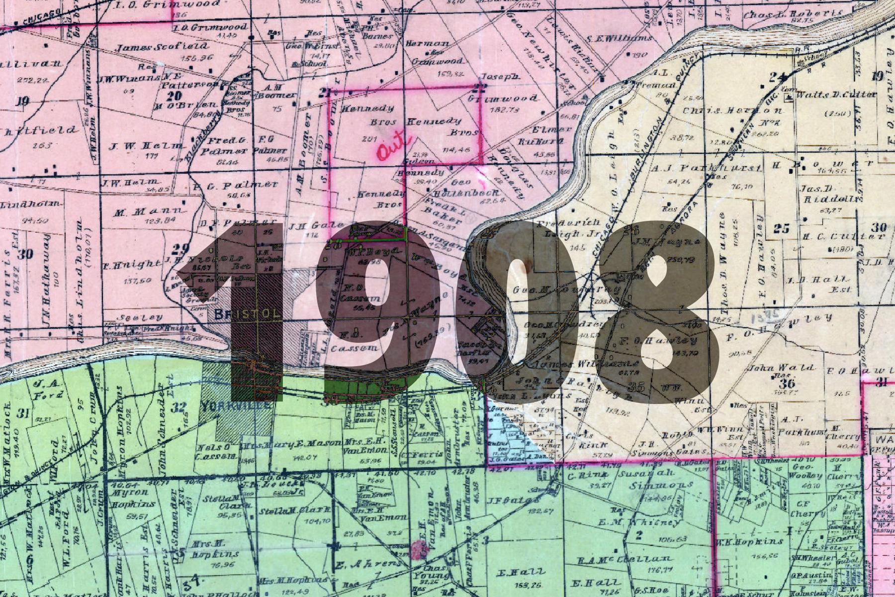
1908 Plat Atlas | https://tiles.kendallcountyil.gov/1908/{z}/{x}/{y}.jpg |
|
|
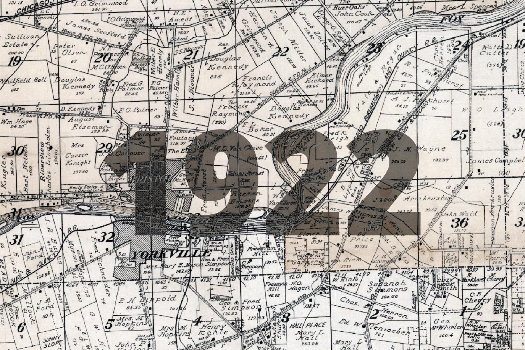
1922 Plat Atlas | https://tiles.kendallcountyil.gov/1922/{z}/{x}/{y}.jpg |
|
|
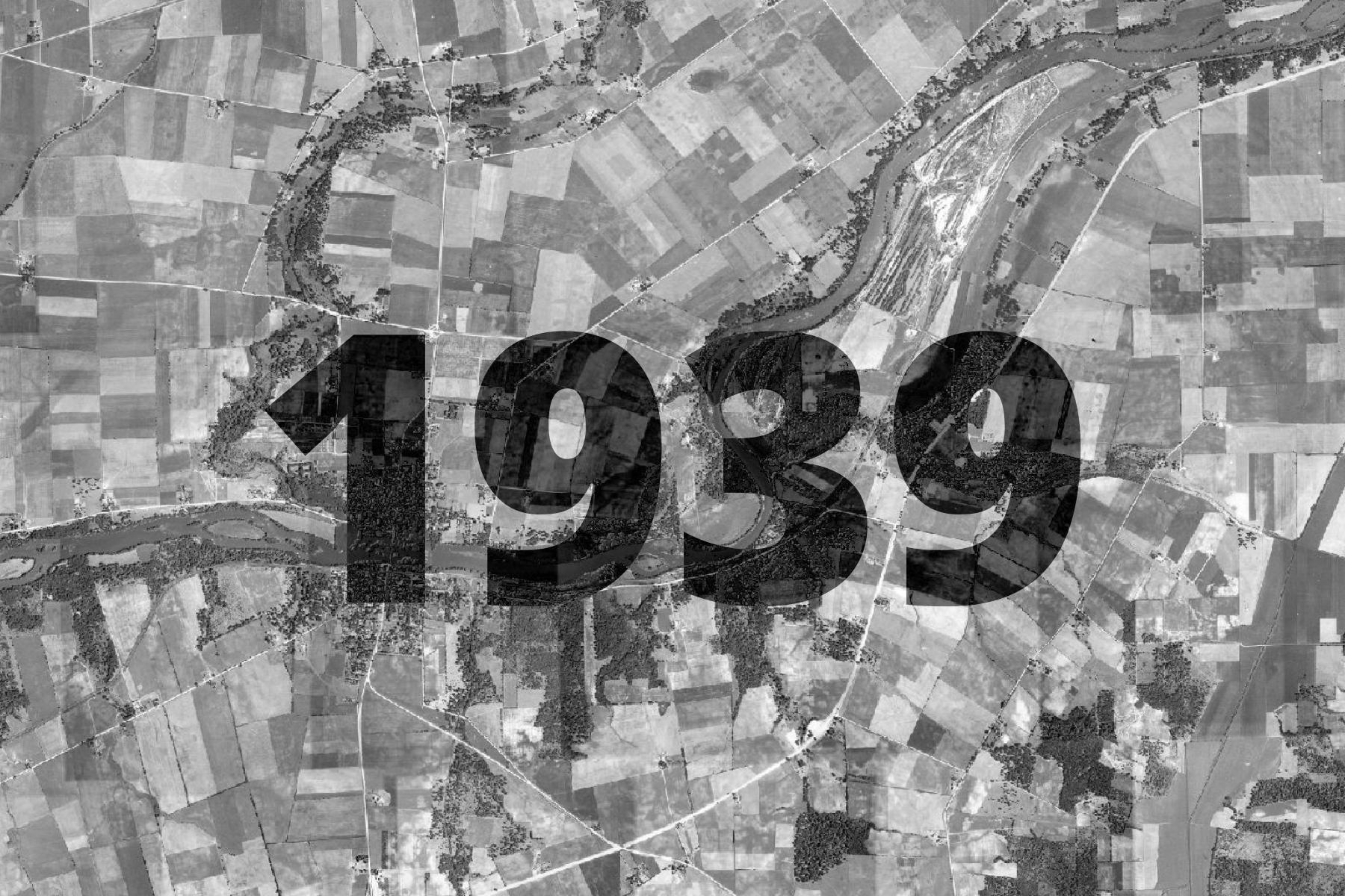
1939 Aerial Imagery | https://tiles.kendallcountyil.gov/1939/{z}/{x}/{y}.jpg |
|
|
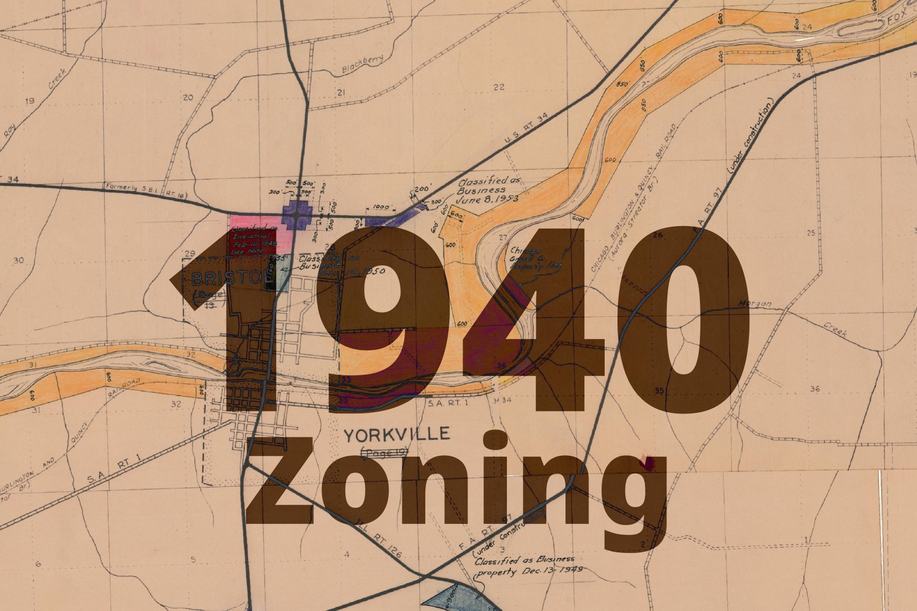
1940 Zoning Map | https://tiles.kendallcountyil.gov/1940-zoning/{z}/{x}/{y}.jpg |
|
|
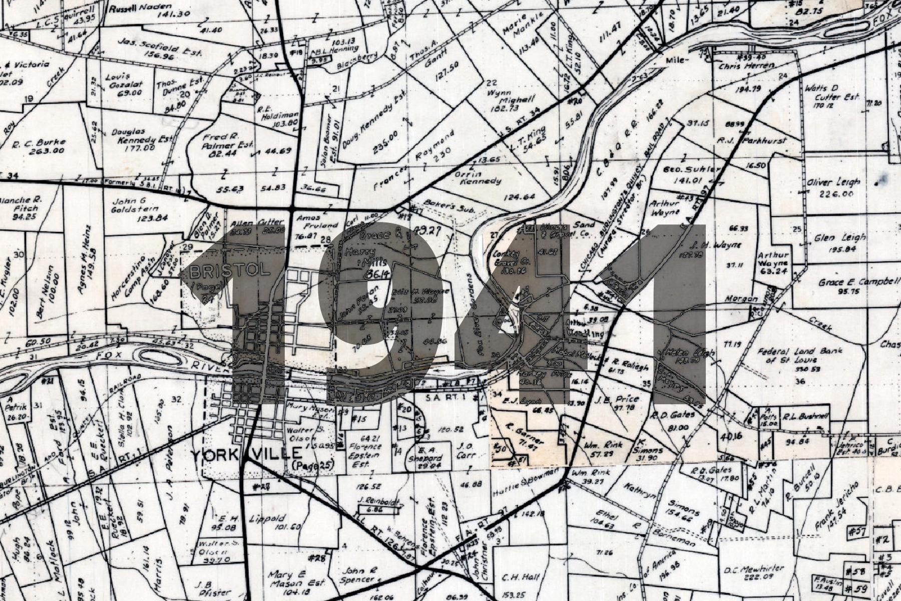
1941 Plat Atlas | https://tiles.kendallcountyil.gov/1941/{z}/{x}/{y}.jpg |
|
|
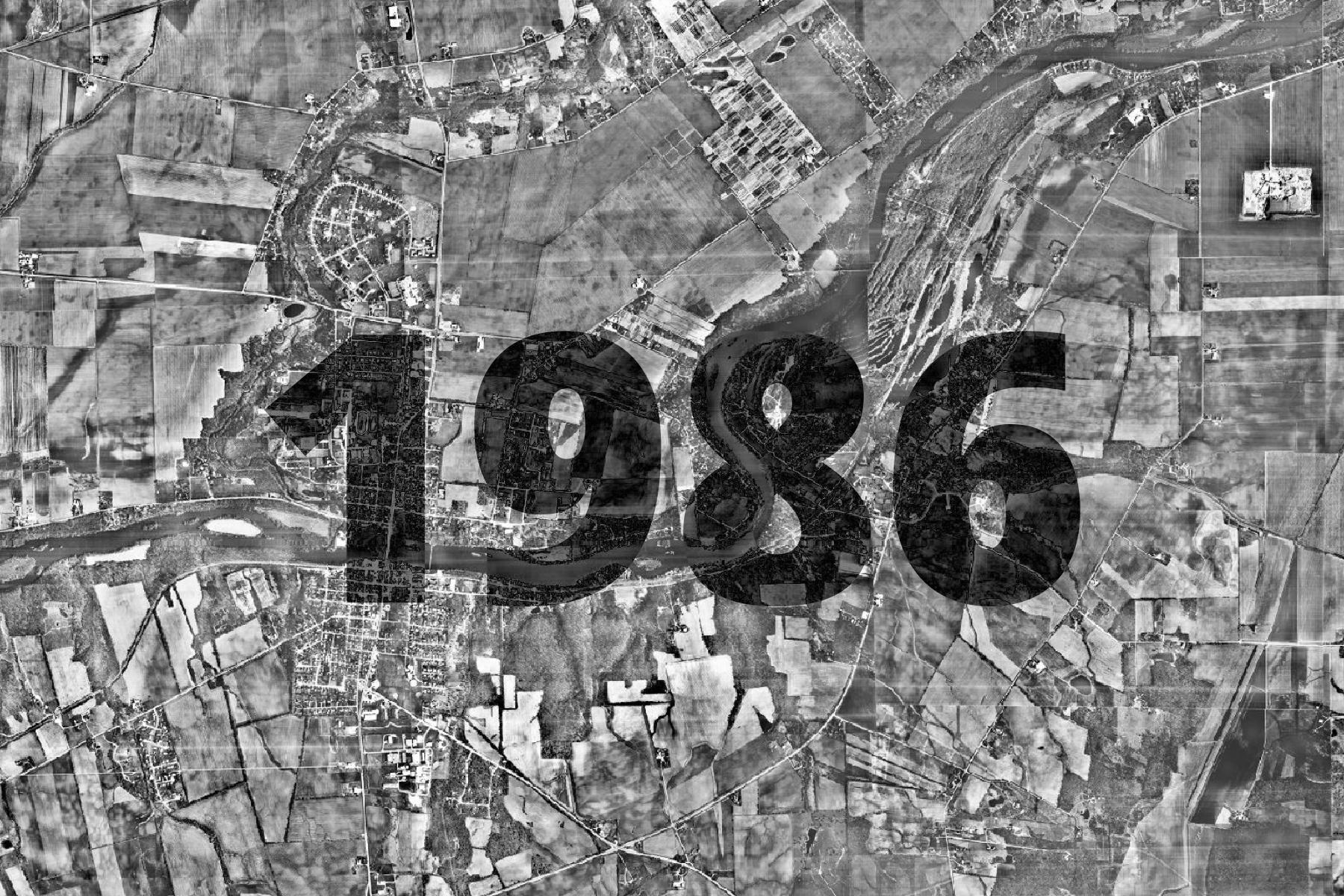
1986 Aerial Imagery | https://tiles.kendallcountyil.gov/1986/{z}/{x}/{y}.jpg |
|
|
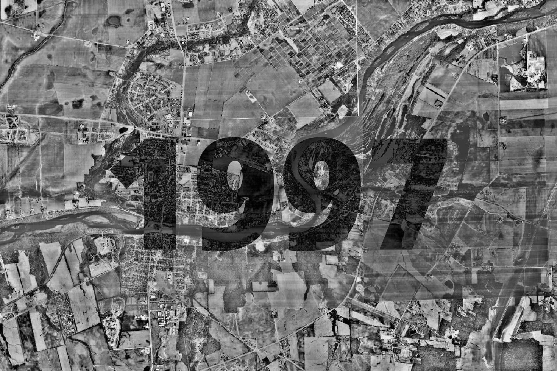
1997 Aerial Imagery | https://tiles.kendallcountyil.gov/1997/{z}/{x}/{y}.jpg |
|
|
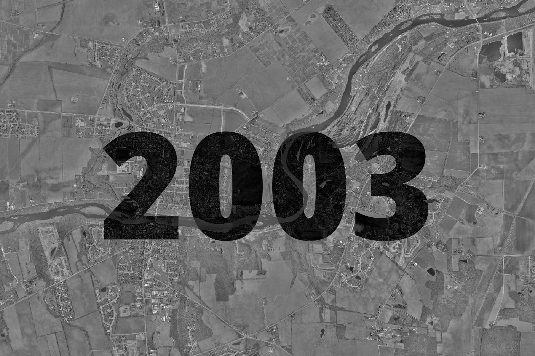
2003 Aerial Imagery | https://tiles.kendallcountyil.gov/2003/{z}/{x}/{y}.jpg |
|
|
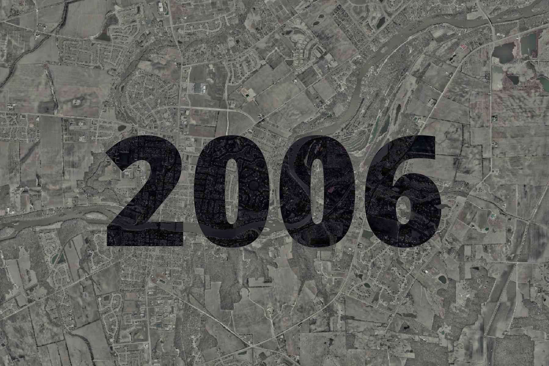
2006 Aerial Imagery | https://tiles.kendallcountyil.gov/2006/{z}/{x}/{y}.jpg |
|
|
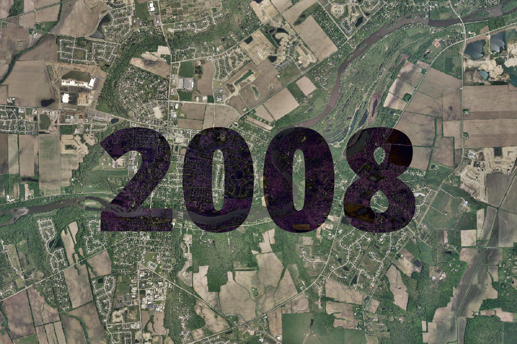
2008 Aerial Imagery | https://tiles.kendallcountyil.gov/2008/{z}/{x}/{y}.jpg |
|
|
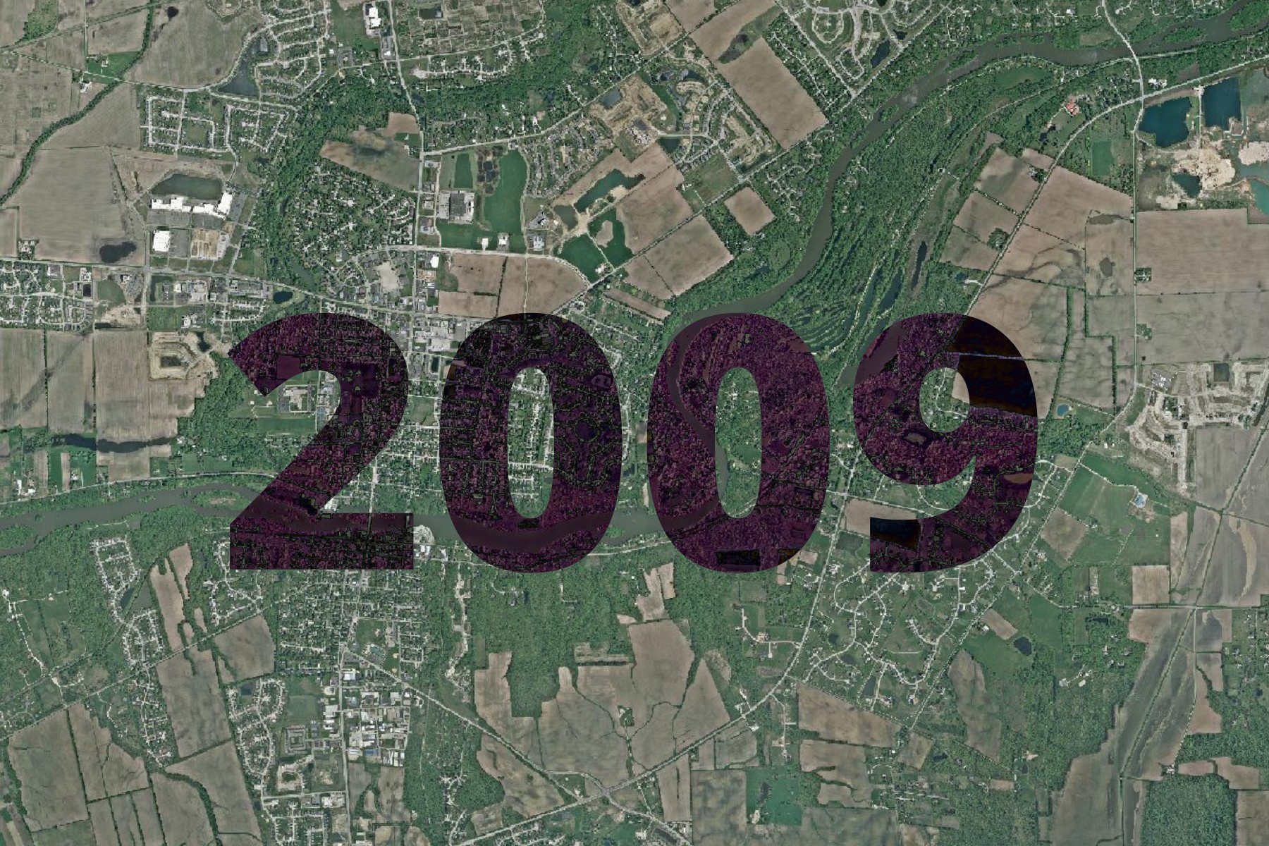
2009 Aerial Imagery | https://tiles.kendallcountyil.gov/2009/{z}/{x}/{y}.jpg |
|
|
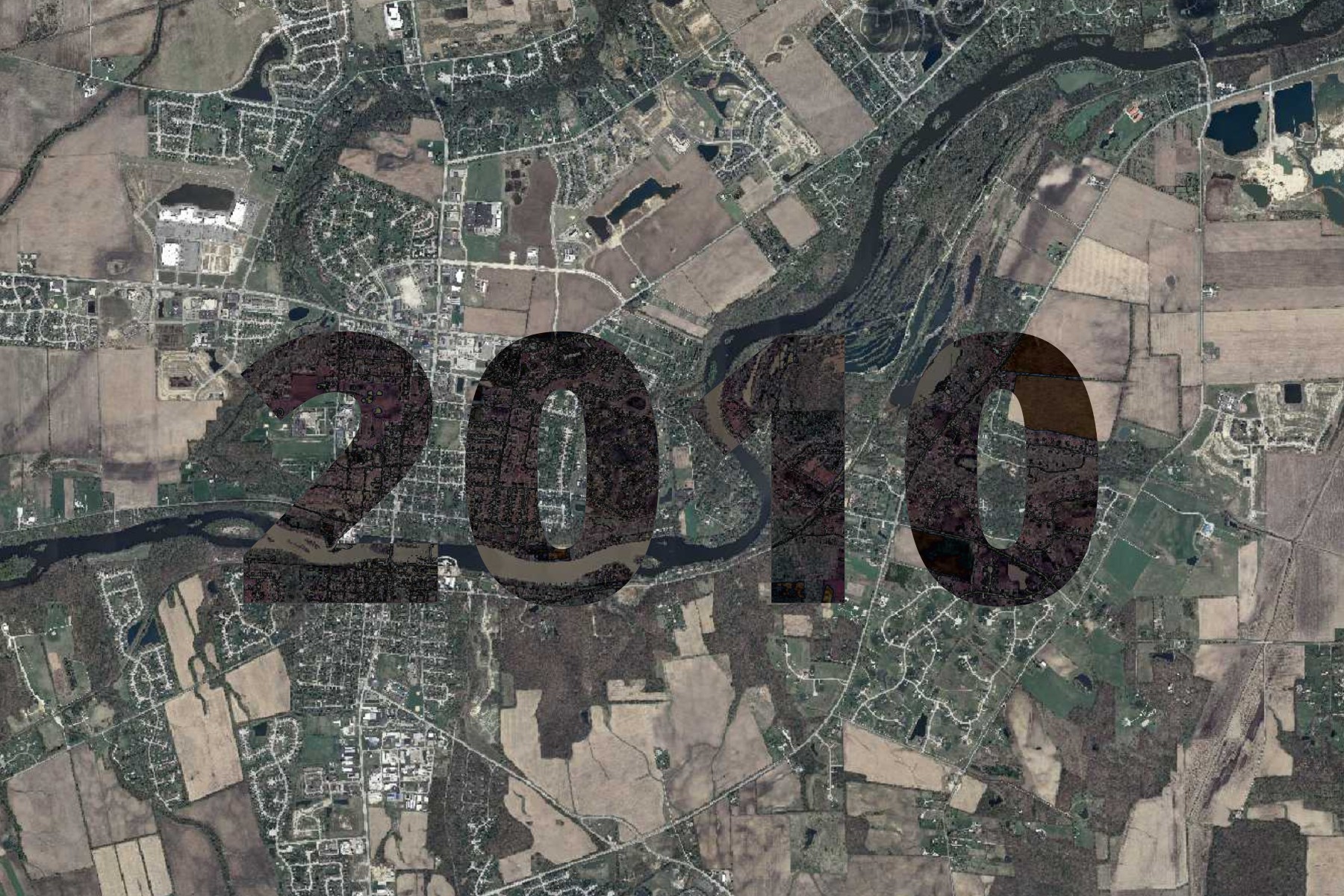
2010 Aerial Imagery | https://tiles.kendallcountyil.gov/2010/{z}/{x}/{y}.jpg |
|
|
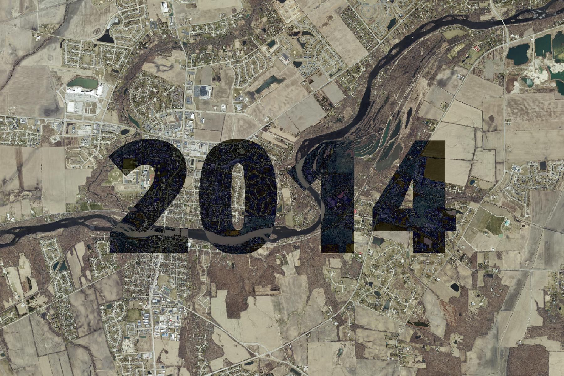
2014 Aerial Imagery | https://tiles.kendallcountyil.gov/2014/{z}/{x}/{y}.jpg |
|
|
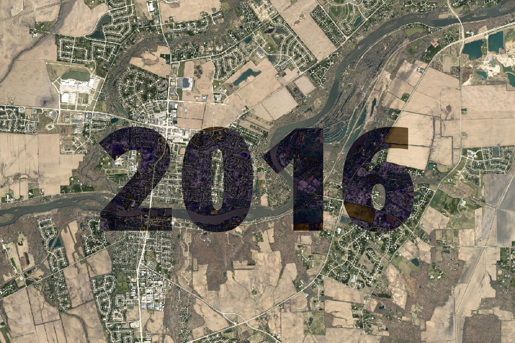
2016 Aerial Imagery | https://tiles.kendallcountyil.gov/2016/{z}/{x}/{y}.jpg |
|
|
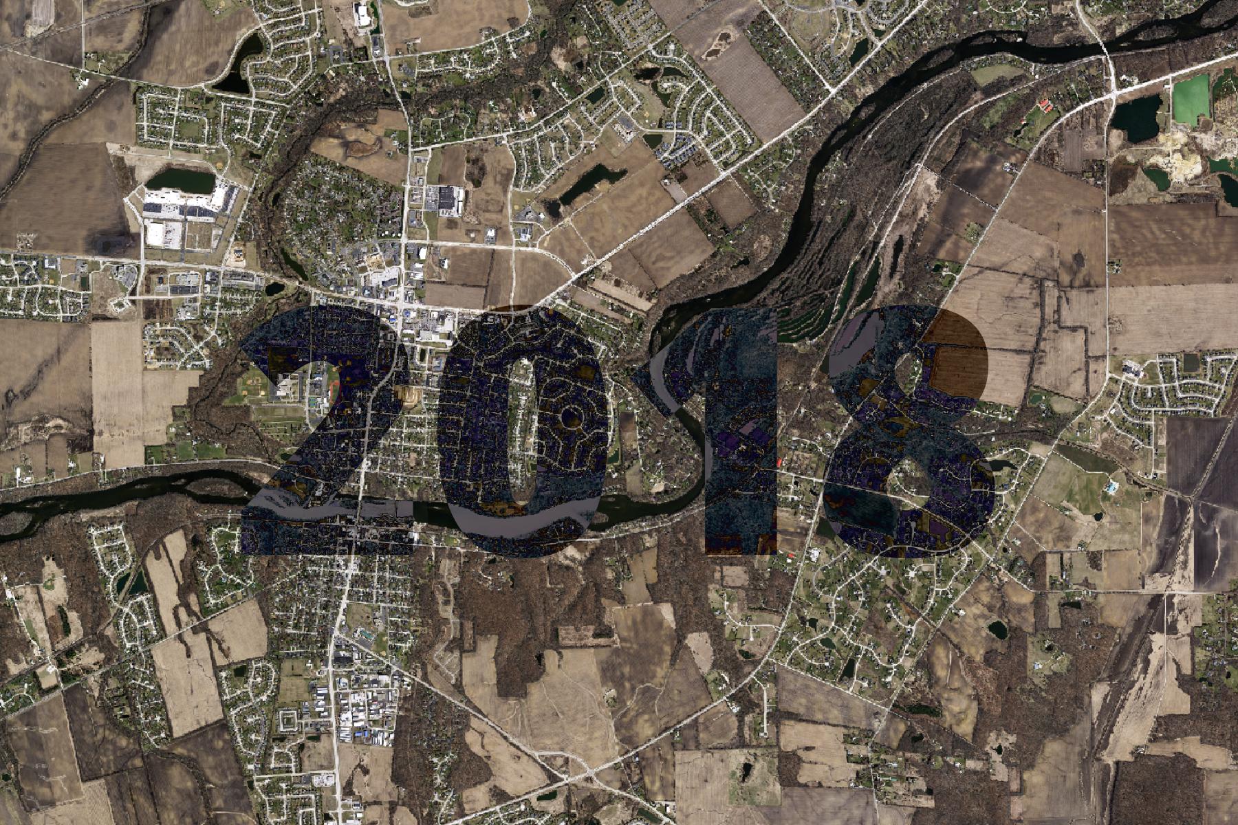
2018 Aerial Imagery | https://tiles.kendallcountyil.gov/2018/{z}/{x}/{y}.jpg |
|
|
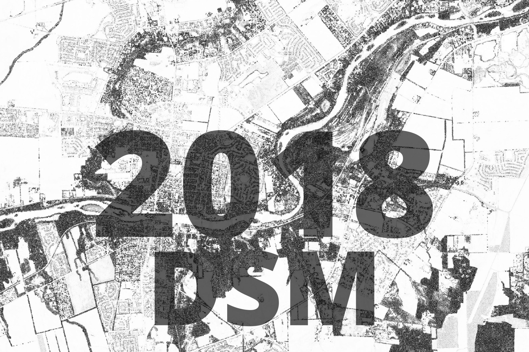
2018 Digital Surface Model | https://tiles.kendallcountyil.gov/digital-surface-model-2018/{z}/{x}/{y}.jpg |
|
|
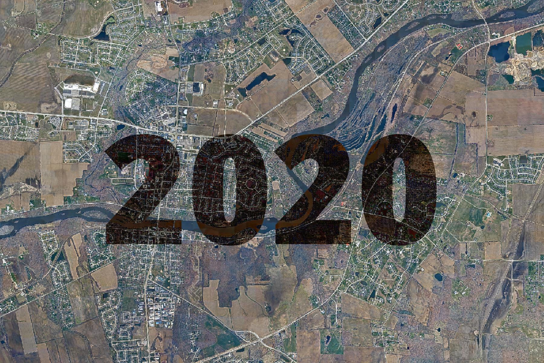
2020 Aerial Imagery | https://tiles.kendallcountyil.gov/2020/{z}/{x}/{y}.jpg |
|
|
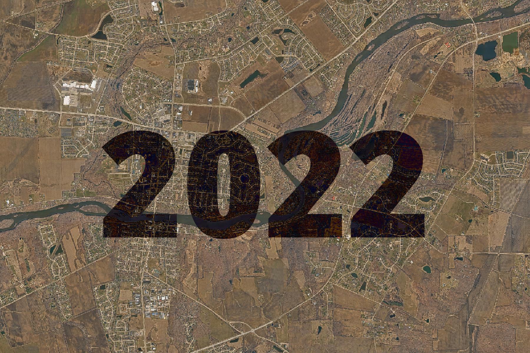
2022 Aerial Imagery | https://tiles.kendallcountyil.gov/2022/{z}/{x}/{y}.jpg |
|
|
2024 Aerial Imagery | https://tiles.kendallcountyil.gov/2024/{z}/{x}/{y}.jpg |

No matching items